Situation
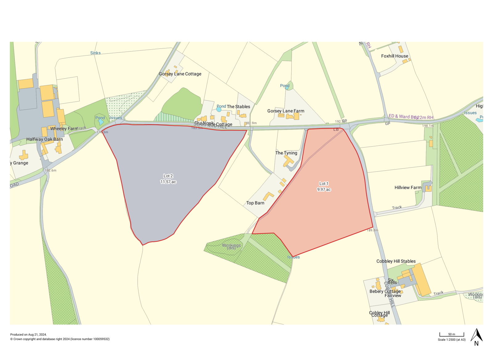
The land is accessed from Cobley Hill and Scarfield Hill roads, between the villages of Alvechurch and Blackwell, to the north east of Bromsgrove in the county of Worcestershire. The land is well located with good access to Bromsgrove and Redditch. The M42 and M5 motorways are also nearby and provide access to the wider region including Birmingham and Worcester.
The town of Bromsgrove offers a range of amenities and facilities including supermarkets, restaurants, pubs, independent shops and a leisure centre. There is a mainline train station with direct services to Birmingham New Street, approx. 30 minutes.
Directions
Post Code – B48 7DB
What3words
Lot 1 - ///pulse.goods.sizes
Lot 2 - ///tiger.credit.invent
Description
Lot 1
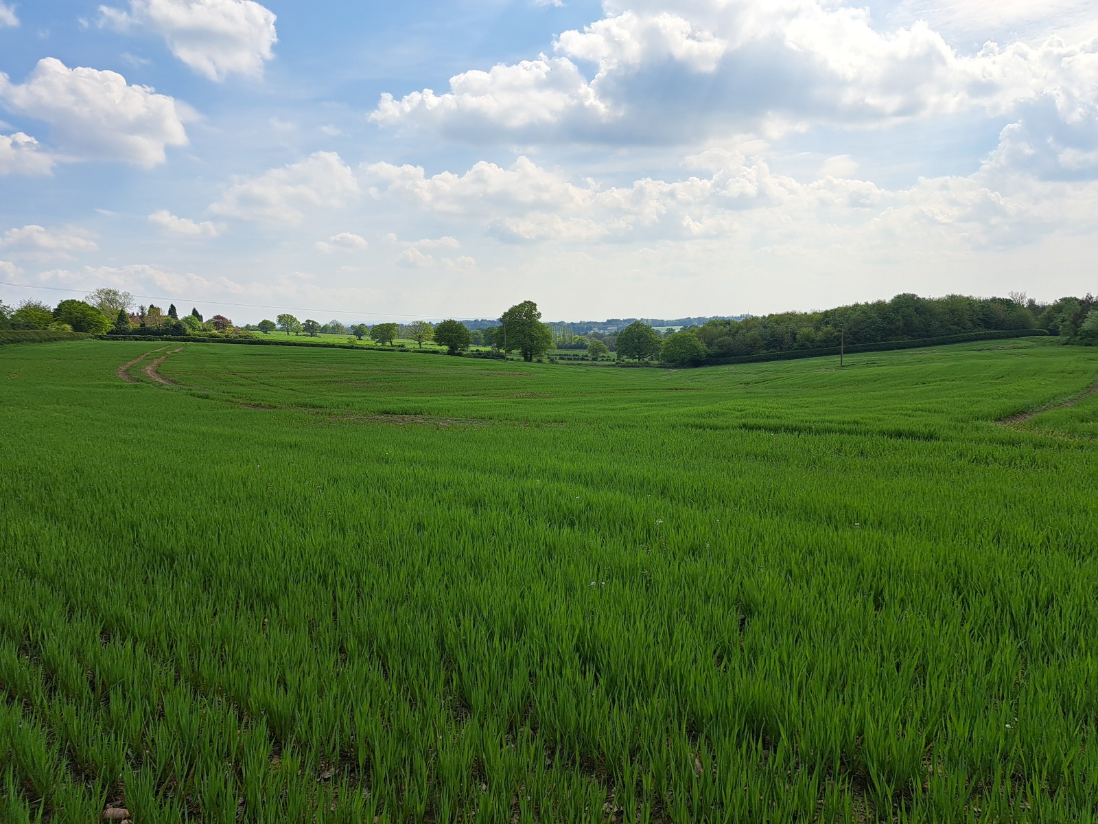
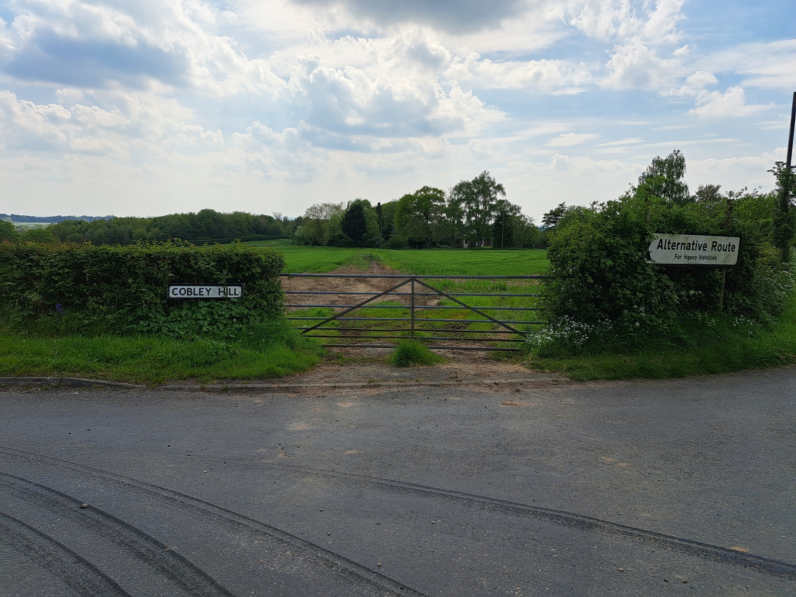
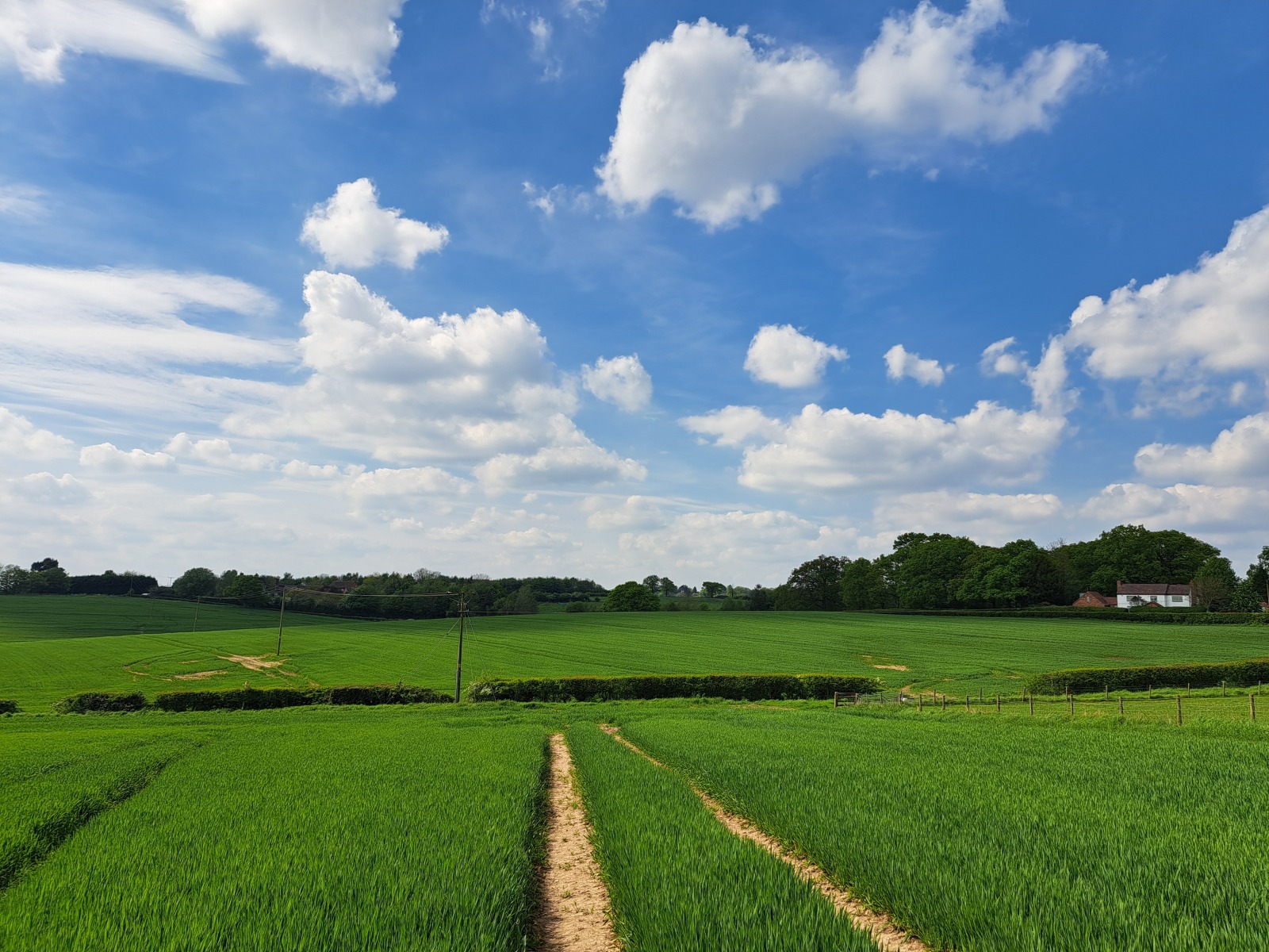
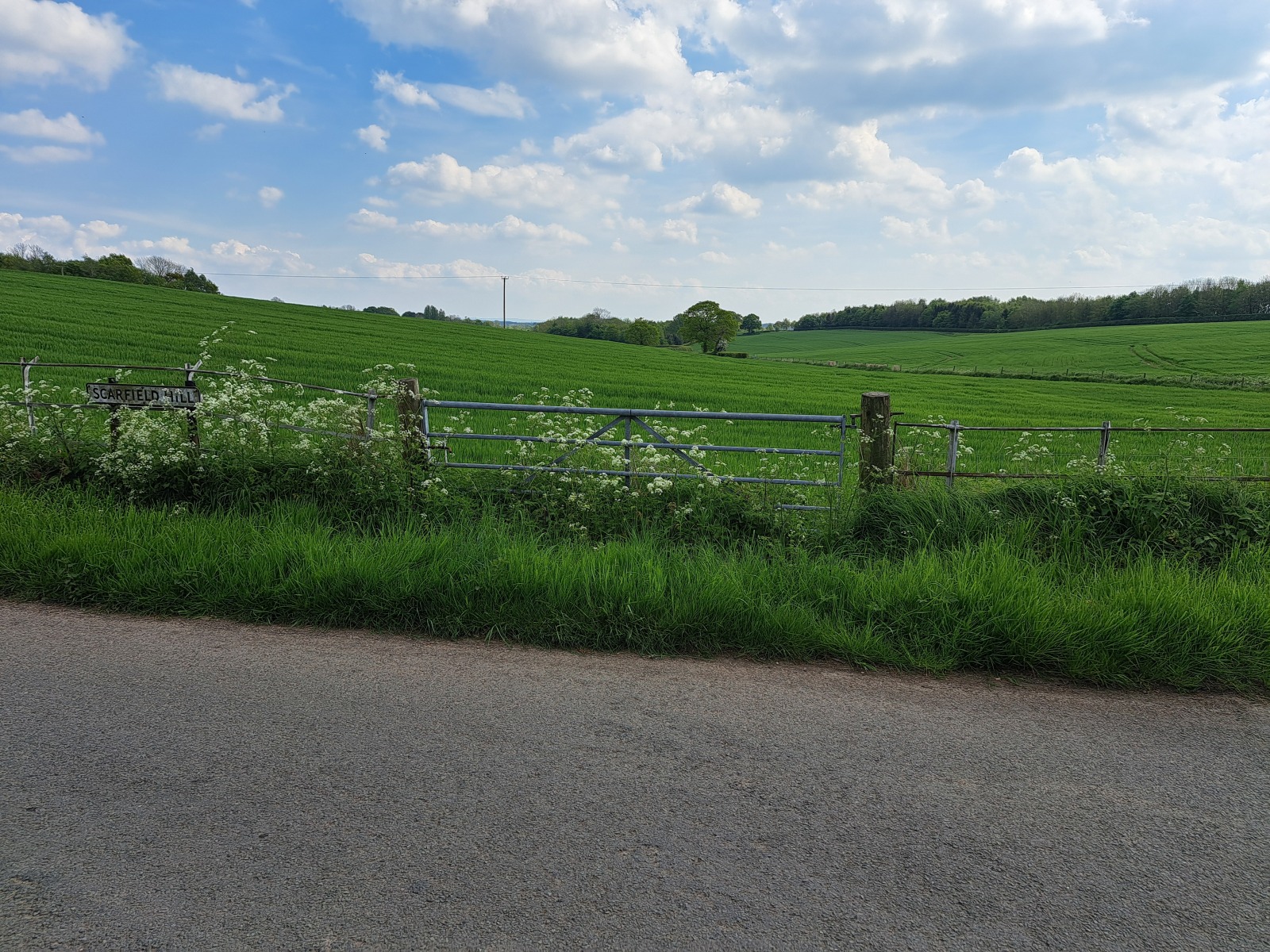
Extending to approximately 9.97 acres (4.03 hectares) the land is accessed from Cobley Hill road via a galvanised five bar gate. The land then slopes down towards the woodland.
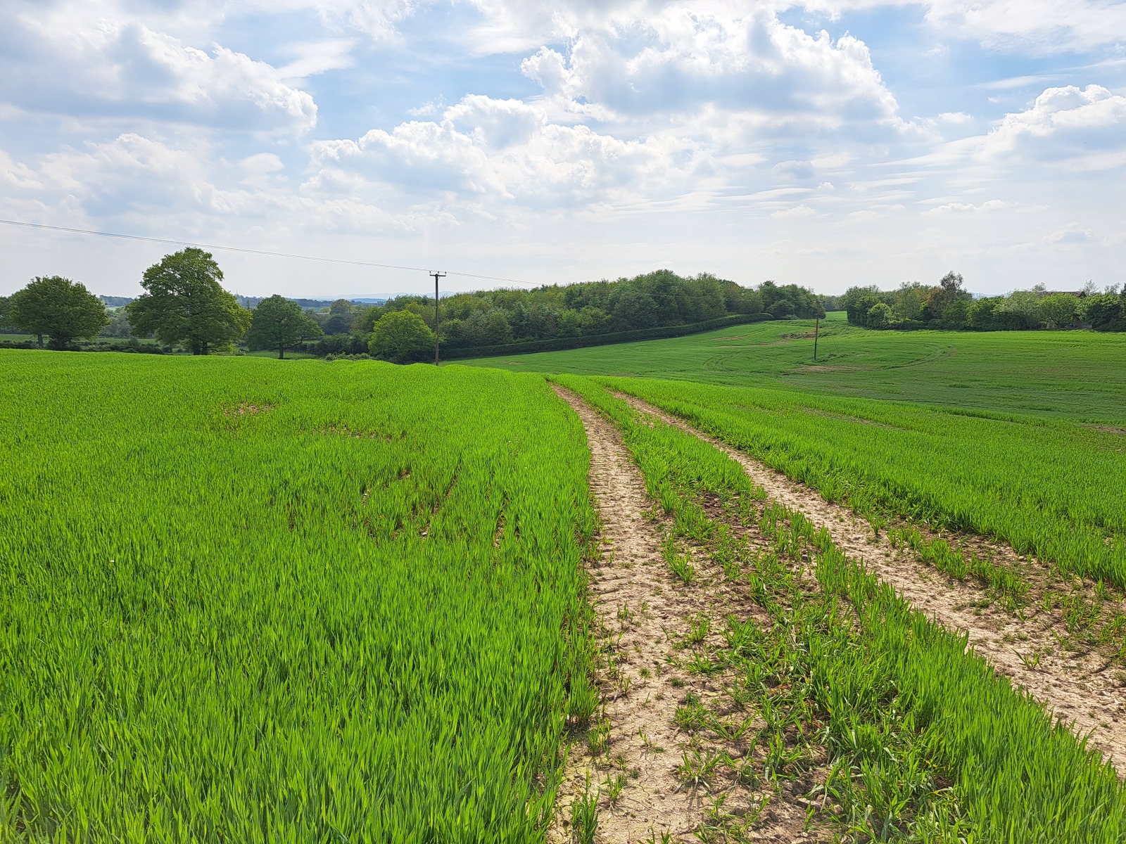
There is a hardcore track which runs across the field then follows the western boundary down. Currently in an arable rotation it has historically been laid to grass and would be well suited for an equestrian or hobby farmer buyer.
Lot 2
Extending to approximately 11.57 acres (4.68 hectares) the land is accessed from Wheeley Road via a galvanised five bar gate.
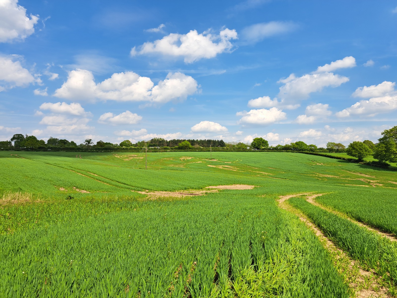
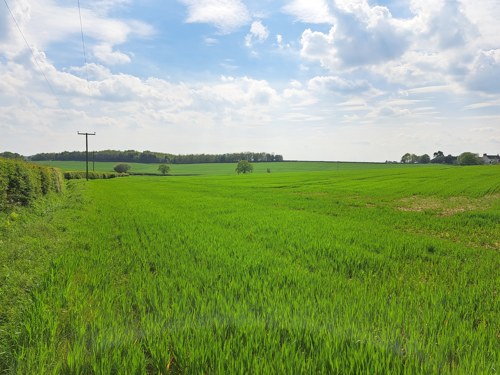
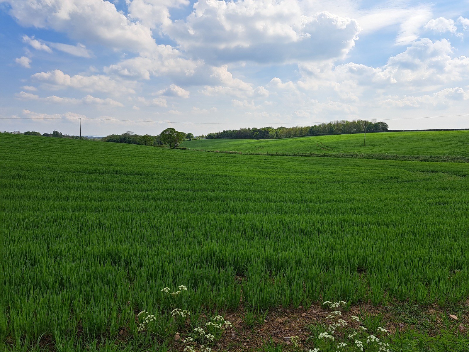
The land is gently undulating and bounded by ditches and mature hedging. Currently in an arable rotation it has historically been laid to grass and would also be well suited for an equestrian or hobby farmer buyer.
Land Quality and Soil Type
The land is classified as Grade 3 according to the Natural England Regional Agricultural Land Classification Maps. The soils may be described as slowly permeable slightly acid but base-rich loamy and clayey soils. These soils are generally suited to grass production and some cereal production.
Designations
The Property is located within the Green Belt.
Services
Lot 1
We understand that there is a mains fed water trough but are not aware of any other services being connected to the Property, but prospective purchasers should make their own independent enquiries.
Lot 2
We are not aware of any other services being connected to the Property, but prospective purchasers should make their own independent enquiries.
Basic Payment Scheme & Environmental Scheme
The land has historically been registered for payments under the Basic Payment Scheme and all delinked payments and entitlements relevant to the land will be retained by the Vendors and will not be available to the Purchaser on completion of the sale.
Tenure & Possession
The land is freehold and vacant possession will be given upon completion.
The Property is registered with the Land Registry under part of title number WR153479.
Ingoing Crop Valuation/Holdover
An ingoing crop valuation will not be required.
Sporting, Mineral and Timber Rights
The sporting, mineral and timber rights will be transferred with the freehold title where owned.
Nitrate Vulnerable Zones (NVZ) & Flood Zones
The Property lies within a Surface Water NVZ Area and is subject to the usual restrictions.
Local Authority
Bromsgrove District Council
Public Rights of Way, Wayleaves and Easements
The Property is sold subject to and with the benefit of all easements, quasi easements, wayleaves and rights of way both declared and undeclared.
We are not aware of any public rights of way affecting the Property.
VAT
The property is not subject to VAT on the purchase so far as we are aware but reserve the right to do so should further information come to light.
Viewings
On foot at any reasonable time during daylight hours, with a copy of these particulars in hand.
Plans & Boundaries
The plans within these particulars are based on Ordnance Survey data and provided for reference only. They are believed to be correct, but accuracy is not guaranteed. The purchaser shall be deemed to have full knowledge of all boundaries and the extent of ownership. Neither the vendor nor the vendor’s agents will be responsible for defining the boundaries or the ownership thereof.
Agents Note
The successful purchaser of Lot 1 will have the opportunity by separate negotiation to also purchase the useful block of woodland immediately to the south which extends to approximately 3 acres.
Guide price £325,000
- 21.54 Acres
Land for sale Cobley Hill, Tardebigge, Bromsgrove, Worcestershire, B48
An opportunity to acquire two useful, well located parcels of land. Available as a whole or in two lots.
- Land classification as Grade 3
- Suited to grass production and some cereal production
- Suitable for those with equestrian
- Road Access
- Well located with good access to Bromsgrove & Redditch
- Freehold with vacant possession upon completion
- To be sold by private treaty

