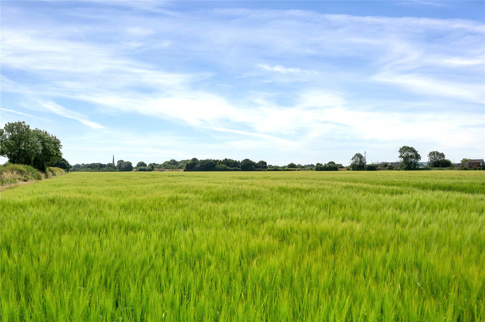
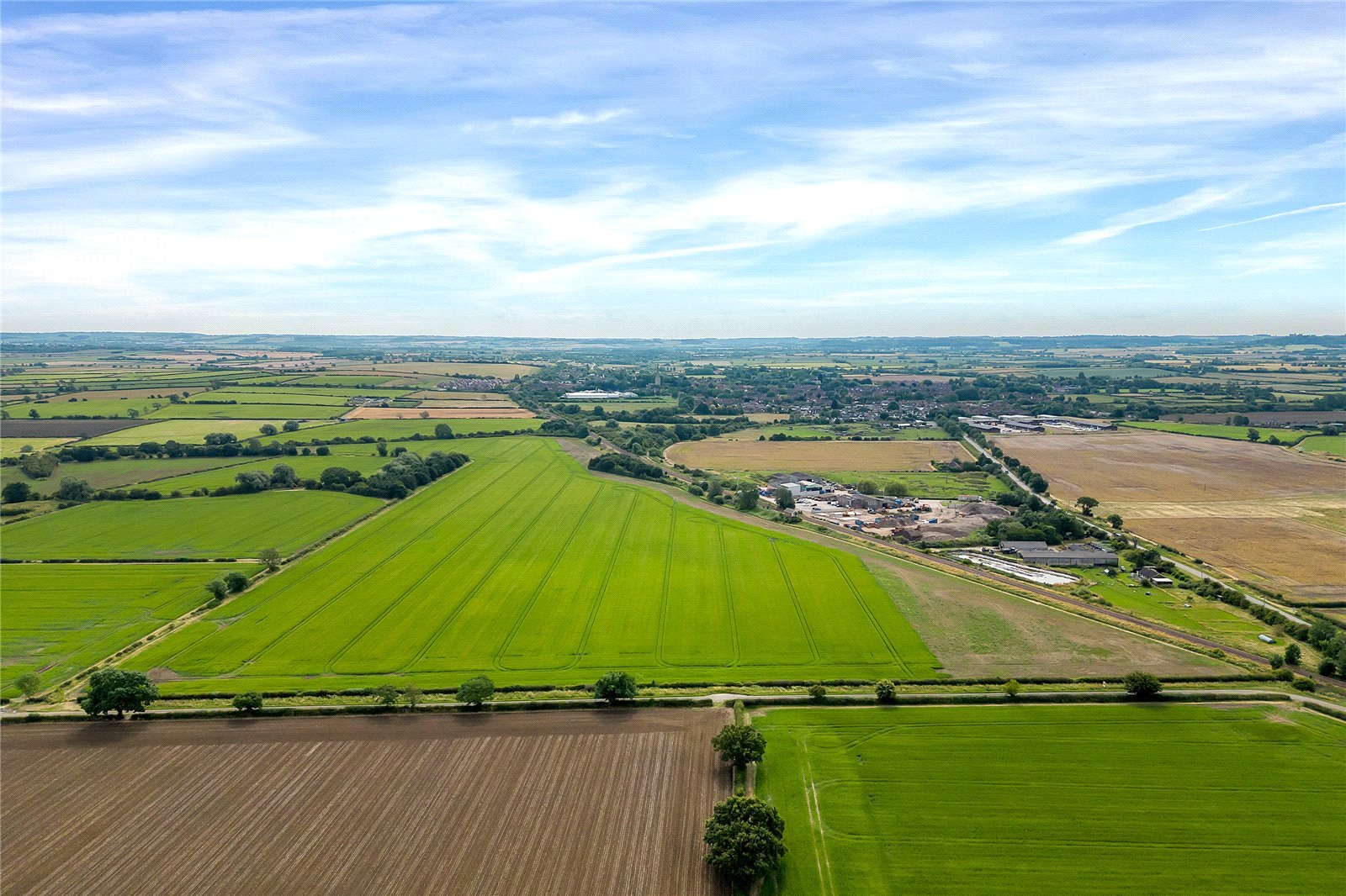
• About 57.92 acres (23.44 hectares)
• Grade 3
• Ideally suited for grassland and cereals
• Close proximity to A52
• Available with vacant possession as a whole by private treaty
Situation
The land is located betwixt the villages of Bottesford and Orston, approximately 1 mile and 1.5 miles respectively. With road frontage to Longhedge Lane, the land is well-placed, being less than 2 miles from the A52, providing connections across the East Midlands. The A1 is a little over 7 miles away enabling access to the north and south of the UK.
Description
Extending to around 57.92 acres (23.44 hectares), the land lies within a ring fence and is enclosed predominantly by mature hedgerows. The land is positioned to the north of the adjacent Nottingham to Grantham train line.
Classified as Grade 3 on the Agricultural Land Classification, the soil is identified as loamy and clayey soils suitable for productive grassland and cereal production. The land has been farmed as part of an arable rotation.
Situated to the north of the block is a small copse incorporating a small pond providing a haven for an abundance of wildlife.
Method of Sale
The land is offered for sale as a whole by private treaty.
Services
Prospective Purchaser(s) must satisfy themselves as to the availability of all services and any future possible connections.
Tenure and Possession
The property is to be sold freehold with vacant possession.
Cropping History
2019/20 Spring Barley
2020/21 Spring Beans
2021/22 Winter Wheat
2022/23 Spring Wheat
2023/24 Spring Barley
Environmental Schemes
The land is not subject to any environmental schemes.
Nitrate Vulnerable Zone (NVZ)
The land is situated within an NVZ.
Public Rights of Way, Wayleaves and Easements
This land is sold subject to or with the benefit of all wayleaves, easements, quasi-easements, rights of way, covenants and restrictions whether defined in these particulars or not.
Sporting, Timber and Mineral Rights
The sporting, timber and mineral rights, so far as they are owned, are included within the freehold of the sale.
Value Added tax (VAT)
Should any part of the sale or land become chargeable for the purpose of VAT, then such tax will be payable by the Purchaser.
Plans and Boundaries
The plans within these particulars are based on Ordnance Survey data and provided for reference only. They are believed to be correct but accuracy is not guaranteed. The purchaser shall be deemed to have full knowledge of all boundaries and the extent of ownership. Neither the vendor nor the vendor’s agents will be responsible for defining the boundaries or the ownership thereof.
Viewings
We ask you to take great care and be as vigilant as possible when making an inspection of the Property for your own personal safety.
Strictly by appointment through Fisher German LLP.
Directions
Postcode – NG13 0AU
what3words ///trample.foal.canoe
Guide price £520,000 Sale Agreed
Sale Agreed
- 57.92 Acres
Land for sale Bottesford, Leicestershire, NG13
Well located to the north east of the Leicestershire village of Bottesford, lies a useful block of arable land in a ring fence, extending to about 57.92 acres (23.44 hectares).


