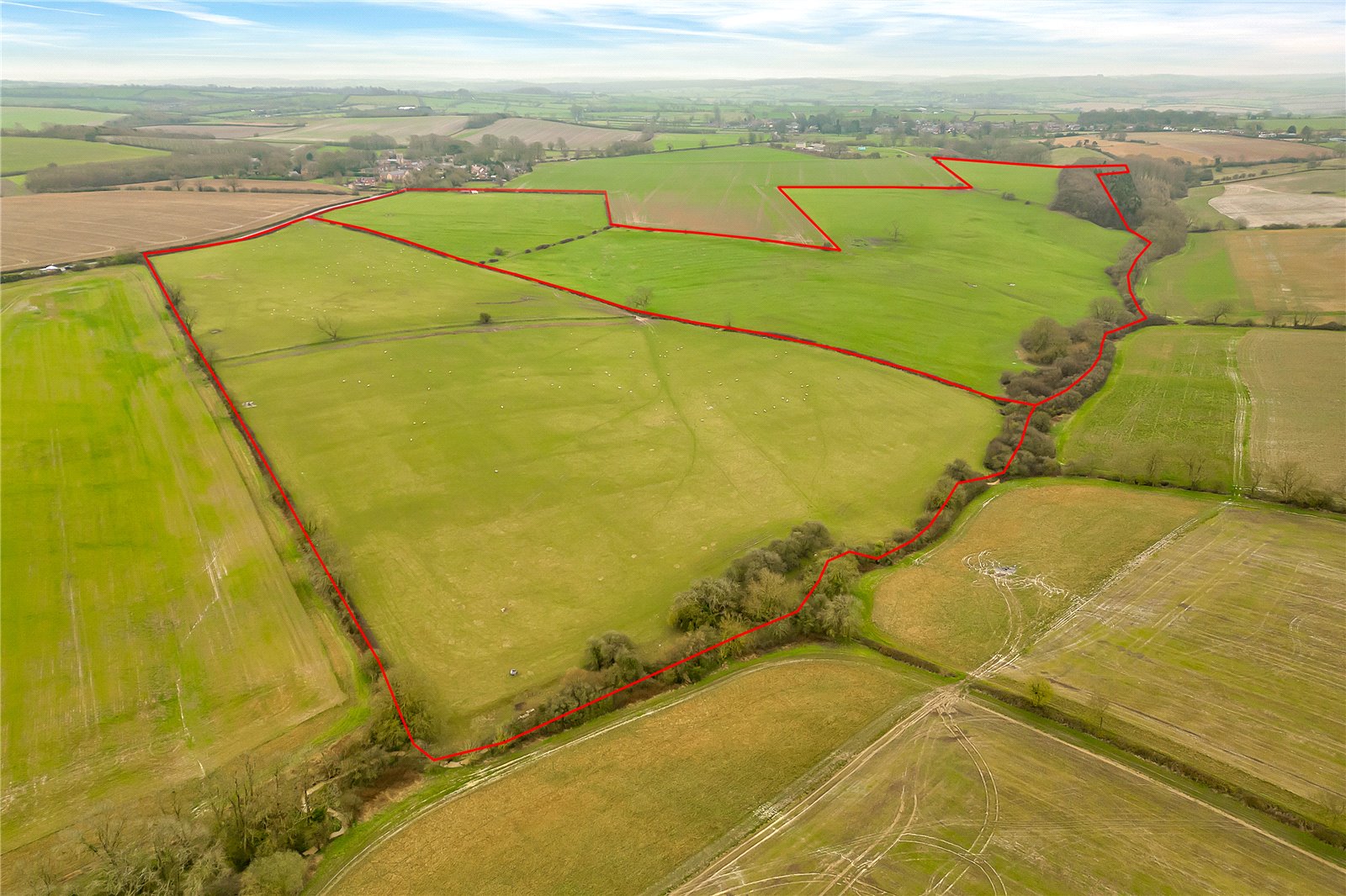
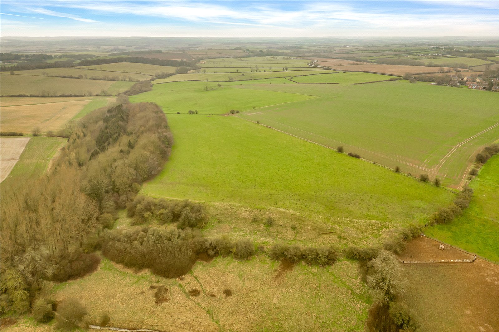
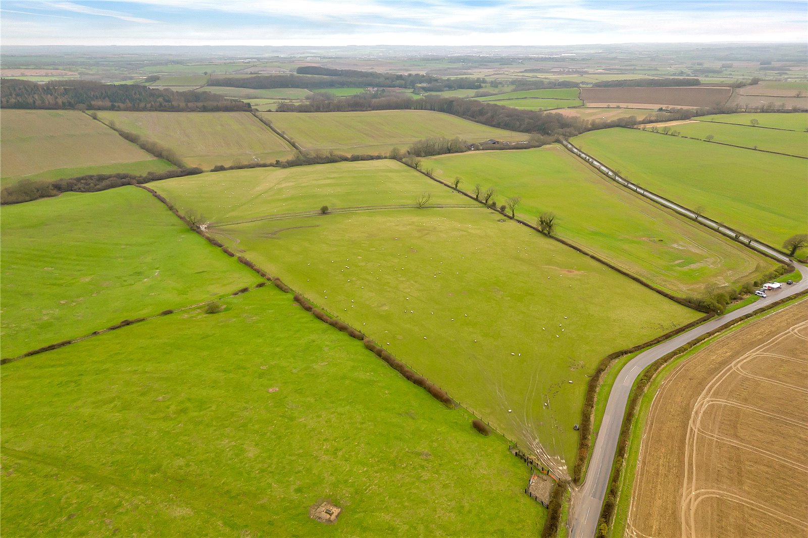
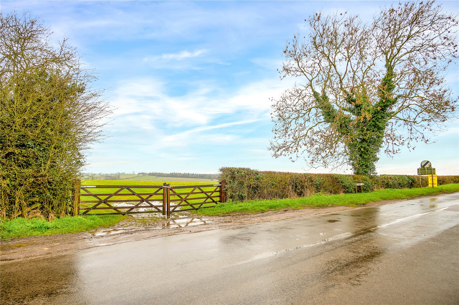
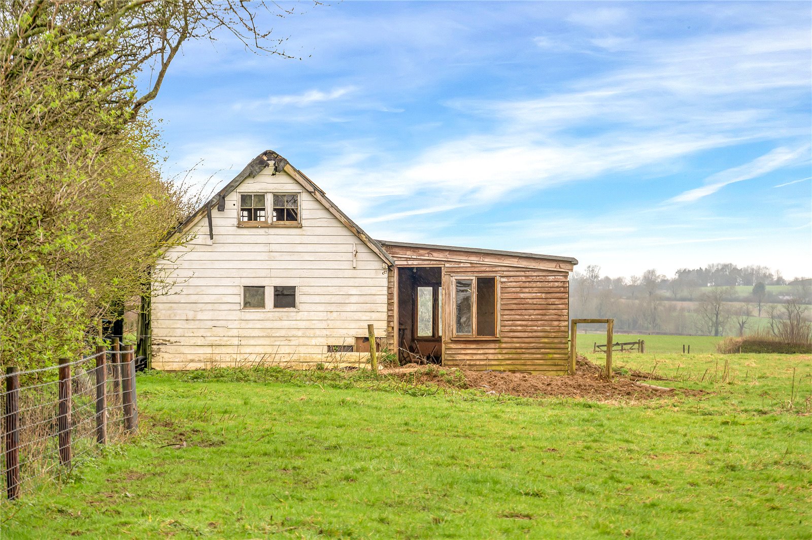
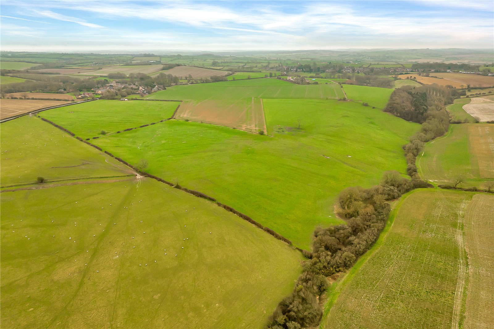
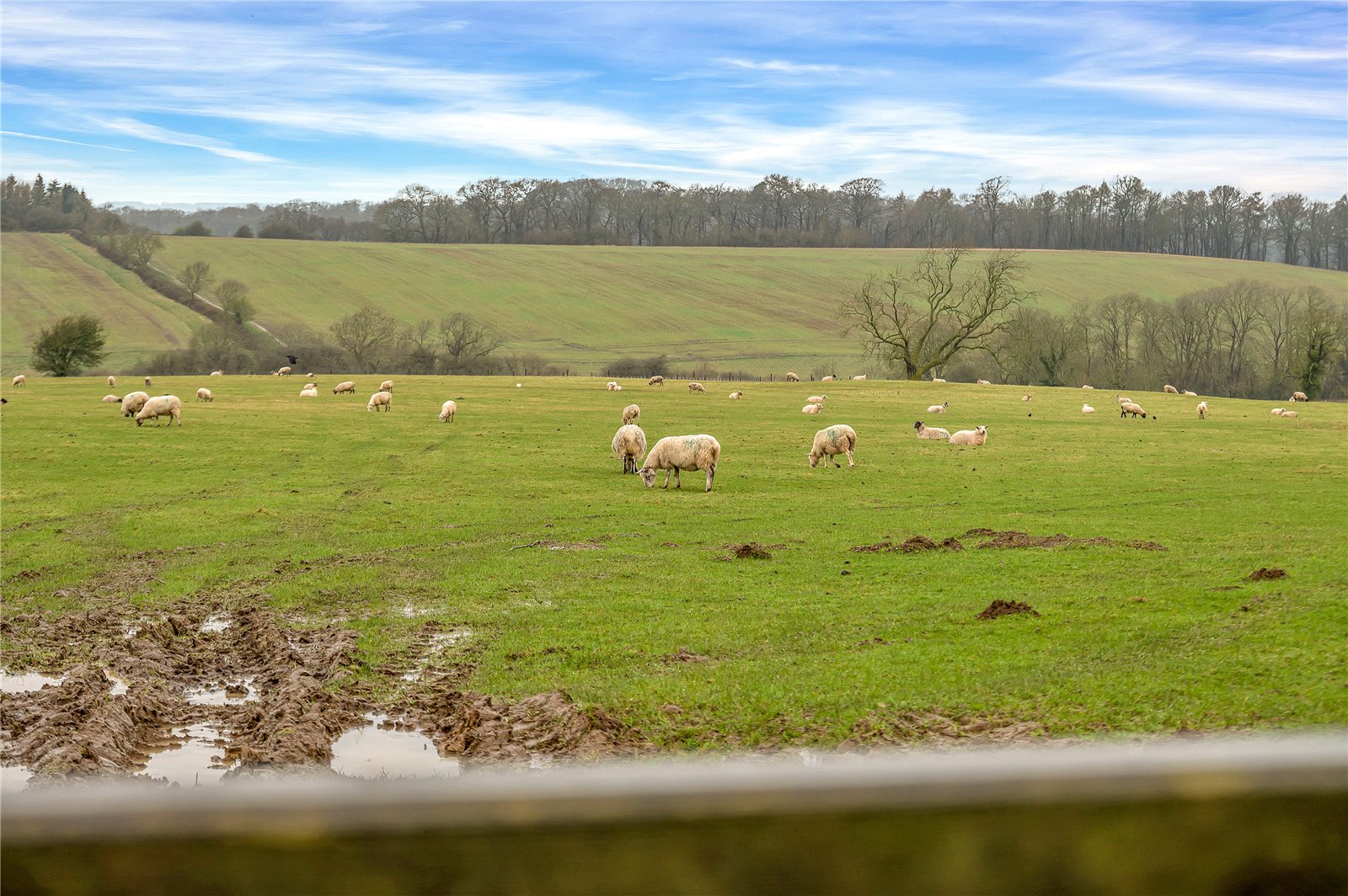
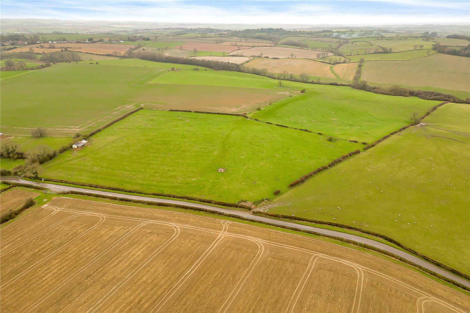
About 99.21 acres (40.15 ha) of pastureland, woodland and a former derelict sports pavilion situated within a ring-fence on the edge of Pickwell with good access to Leesthorpe Road. Available as a whole or in two lots.
Informal Tender deadline: 30th May 2024 at 12 noon.
Overview
About 99.21 acres (40.15 ha) of pastureland, including ridge and furrow, and woodland in a ring-fence with road frontage to Leesthorpe Road
Lot 1 - About 32.04 acres (12.97 ha) of undulating pastureland and woodland bordered by mature hedgerows and post and wire fencing in part
Lot 2 – About 67.17 acres (27.18 ha) of pastureland including a small area of woodland, bordered by mature hedgerows and stockproof fencing in part. Including some steeper grazing areas. Access from Leesthorpe Road
Mains water connected to Lot 2
Subject to grazing licences expiring 31st August 2024
Situation
The land is situated on the northern edge of the village of Pickwell, just 6 miles from Melton Mowbray. The property benefits from direct access off Leesthorpe Road which joins Melton Road (A606), allowing good access provision to Melton Mowbray, Oakham, and Leicester. The nearby village of Somerby (1 mile) offers a pub, village stores and doctors surgery.
The market town of Melton Mowbray (6.2 miles) offers further amenities and facilities including supermarkets, independent shops, pubs, and a leisure centre. There is a mainline train station offer direct services to London.
Land Quality and Soil Type
The land is classified as Grade 3 according to the Natural England Regional Agricultural Land Classification Maps. The soils may principally be described as freely draining slightly acidic but base-rich soils, with some areas of heavier loamy and clayey soils. These soils are generally suited to grass production and some cereal production.
Technical information and Viewings
Viewings of the land may be undertaken during daylight hours only and with a copy of these particulars to hand. Viewers must confirm the time of their inspection to the selling agent prior to arrival. Please note the property is a working farm and viewers must take precautions with livestock and potential farm machinery on the property.
Services
We understand that mains water is available to the field water troughs within Lot 2. Lot 1 has the benefit of a spring fed water supply. Prospective Purchasers must satisfy themselves as to the availability of services and any future connections. If the land is sold in lots, then cross-rights and reservations will need to be reserved where required, for services. Services may need to be split and sub-meters installed.
Basic Payment Scheme and Environmental Schemes
The land has historically been registered for payments under the Basic Payment Scheme and all delinked payments and entitlements relevant to the land will be retained by the Vendors and will not be available to the Purchaser on completion of the sale.
The land is subject to a wider Mid-Tier Countryside Stewardship Scheme ending 31st December 2026 which includes multi-year options and capital items. Capital item works have been completed. The Vendors will undertake to transfer the relevant part/ options of the Countryside Stewardship Scheme to the purchaser upon completion unless otherwise agreed. Further details are available from the selling agents.
Tenure and Possession
The property is to be sold freehold subject to a grazing licence expiring 31st August 2024. Further details are available from the selling agent.
Method of Sale
The land is offered for sale by informal tender and is available as a whole or in two lots. Tender documents and tender conditions are available upon request from the selling agent and tenders must be submitted using the prescribed form.
All offers must be received by 12 noon Thursday 30th May 2024.
Please note: the Vendors reserve the right to conclude the sale by any other means at their discretion and the Vendors are not obliged to accept the highest or indeed any Tender submitted.
Ingoing Crop Valuation/Holdover
An ingoing crop valuation will not be required.
VAT
Any guide price quoted or discussed is exclusive of VAT. In the event that a sale of the property or any part thereof or any right to it becomes a chargeable supply for the purposes of VAT, such tax will be payable in addition to the sale price.
Sporting, Mineral and Timber Rights
The sporting, mineral and timber rights will be transferred with the freehold title where owned.
Nitrate Vulnerable Zone (NVZ)
The Property lies within a Surface Water NVZ Area and is subject to the usual restrictions.
Overage
The land will be sold subject to an uplift provision which will specify that 20% of any increase in value due to development (as defined in Section 55 of the Town and Country Planning Act 1990) for renewable energy purposes only will be payable to the Vendors or their successors in title should such development occur within 20 years from the date of completion. The uplift will be payable upon implementation or on a future sale with the benefit of a planning consent.
Local Authority
Melton Mowbray Borough Council.
Public Rights of Way, Wayleaves and Easements
The property is sold subject to all rights of way, wayleaves and easements whether or not they are defined in this brochure. We are not aware of any public rights of way affecting the land.
Plans and Boundaries
The plans within these particulars are based on Ordnance Survey data and provided for reference only. They are believed to be correct but accuracy is not guaranteed. The purchaser shall be deemed to have full knowledge of all boundaries and the extent of ownership. Neither the vendor nor the vendors agents will be responsible for defining the boundaries or the ownership thereof.
Directions
Postcode - LE14 2QT
What3words:-
Lot 1 ///saints.reclaimed.slick
Lot 2 ///variances.router.guesswork
Guide price £840,000 Sold
Sold
- 99.21 Acres
Land for sale Pickwell, Melton Mowbray, Leicestershire, LE14
A ring-fenced block of productive pastureland with woodland and former sports pavilion, on the edge of Pickwell village.
- About 99.21 acres (40.15 ha) of pastureland
- Lot 1 – About 32.04 acres (12.97 ha)
- Lot 2 – About 67.17 acres (27.18 ha)
- Mains water connected to Lot 2
- Subject to grazing licences expiring 31st August 2024

